Roof and Tower Inspections
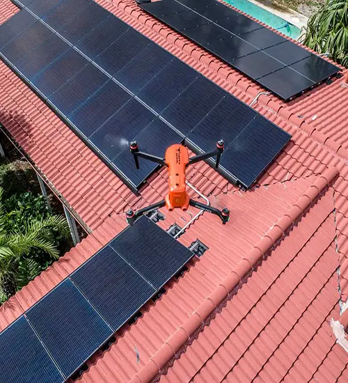
The close-up without the climb. Towers, roofs, tanks, solar and bridges, documented in high resolution.
Read moreProgress your owner, your lender and your insurer all accept - same flight path, same angles, every visit.
A construction site is hard to describe and easy to argue about. Where the work actually stands, where the equipment sits, how much material is stockpiled - all of it is obvious from 300 feet and contested from the ground.
We capture aerial progress photos, video, orthomosaic maps and 3D models of sites across South Florida at 20 megapixels, from repeatable angles, at whatever interval the schedule needs: daily, weekly, biweekly or monthly.
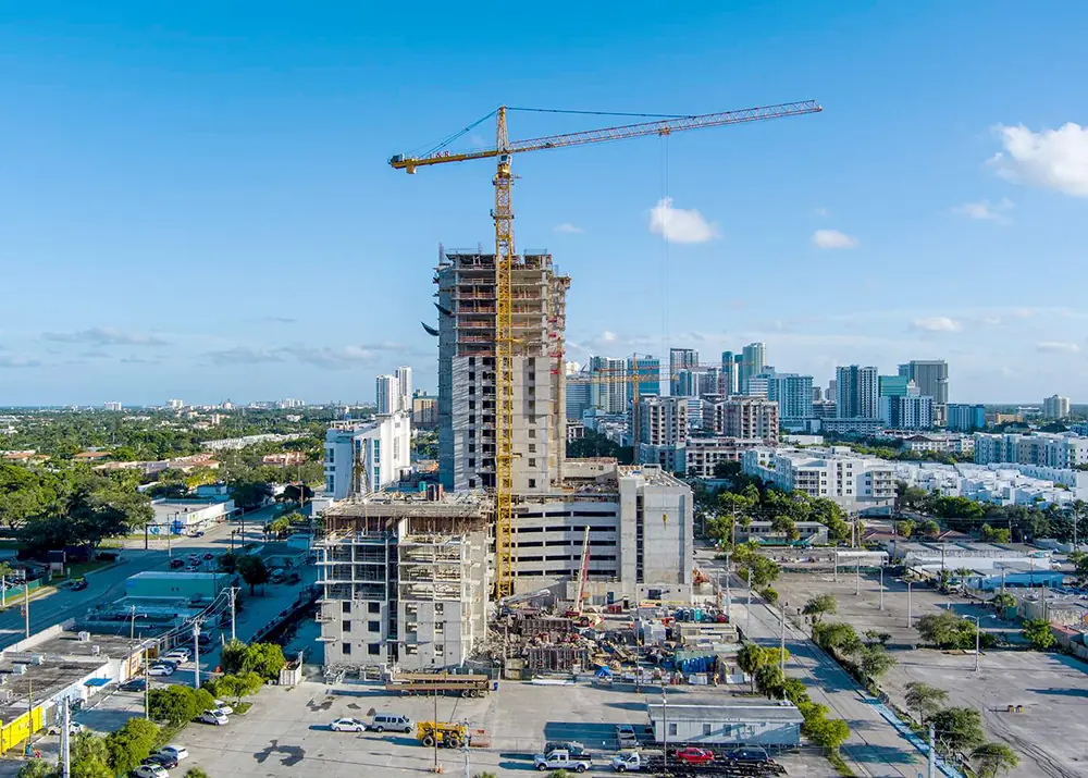
First visit establishes the altitudes, angles and waypoints. Every later flight repeats them, which is what makes the series comparable.
Daily during a critical pour, monthly on a long build. You choose it and we hold to it.
Stills, video, an orthomosaic and a 3D model where the project calls for one - all in an online gallery your whole team can reach.
By month six you have a defensible timeline for the owner, the lender and the insurer, without anyone having to remember to take pictures.
Frames from Papa's Aerial shoots across Broward, Miami-Dade and Palm Beach.
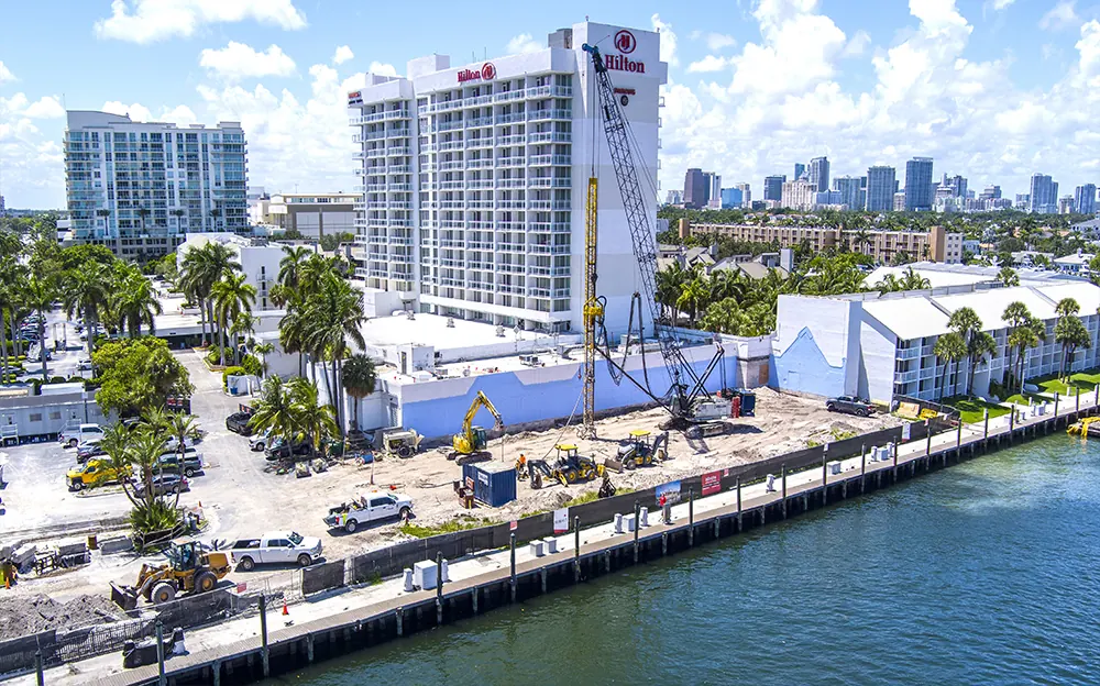
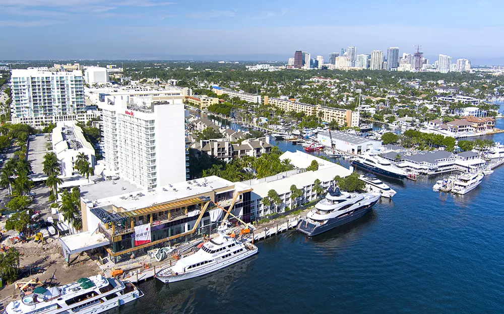
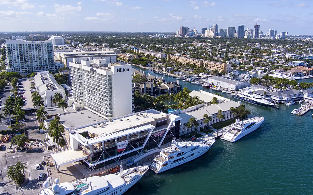
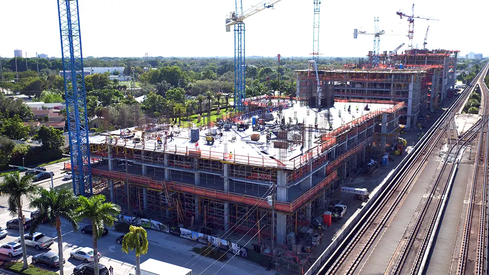
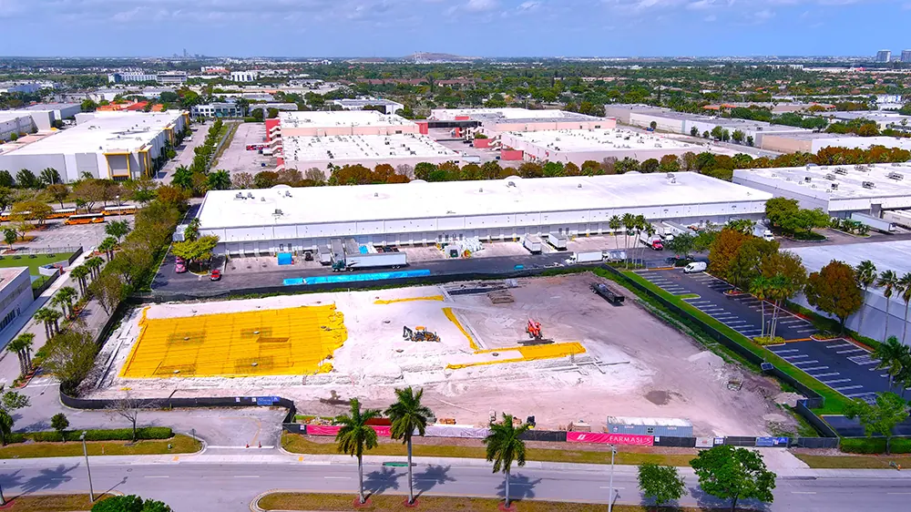
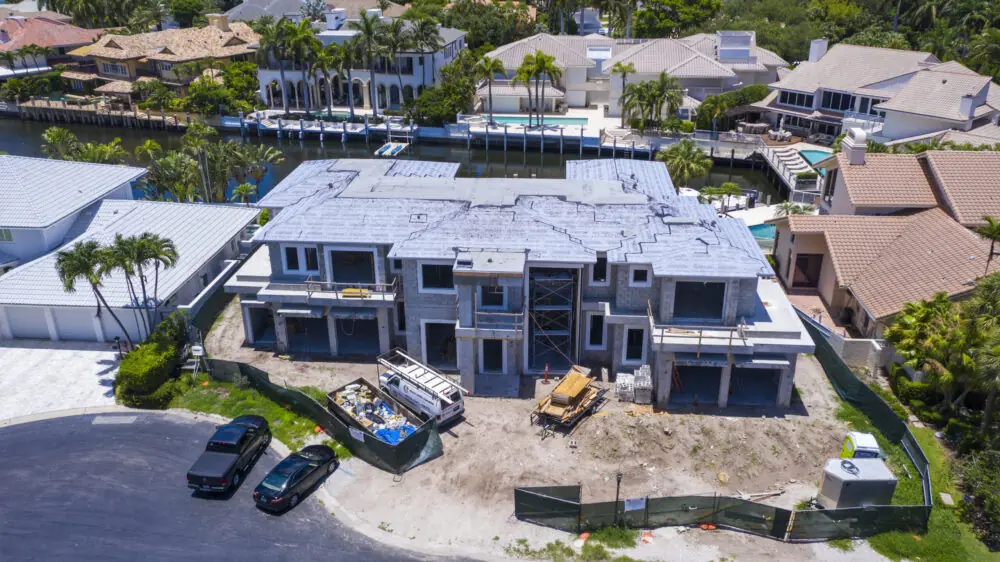
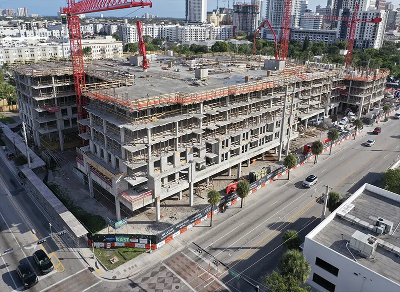
Most projects settle on monthly, and move to weekly through a critical phase. We fly daily, weekly, biweekly or monthly - whatever the schedule needs.
Progress imagery is captured at 20 megapixels from multiple angles, which is enough to zoom into a specific bay or elevation from a single site-wide frame.
Yes. Orthomosaic maps and 3D models of the site are part of what we deliver on construction work, alongside the stills and video.
Edited stills are delivered within 24 hours of the flight. Mapping, stitching and video editing add several days, since that work is processed rather than just graded.
Usually. We can obtain FAA authorization to fly in proximity to a major airport, but approval can take several days - bring us the project before the schedule gets tight.
Yes. The same flight series serves the general contractor, the owner's rep and the lender - it is the same record, read for different reasons.
The close-up without the climb. Towers, roofs, tanks, solar and bridges, documented in high resolution.
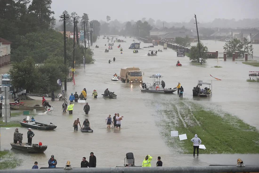
Read moreBaseline imagery before the storm, and a fast, safe read of the damage after it.
Read moreFlying in Fort Lauderdale and the surrounding South Florida cities, or tell us about your project.
Same business day quotes, FAA-certified pilots, and edited stills back within 24 hours of the shoot.