Roof and Tower Inspections
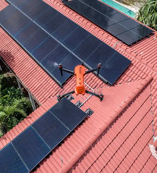
The close-up without the climb. Towers, roofs, tanks, solar and bridges, documented in high resolution.
Read moreBaseline imagery before the storm, and a fast, safe read of the damage after it.
The most useful disaster imagery is taken before the disaster. Aerial images captured ahead of an event show what was already deficient - the roof that needed work, the building that needed wind-retrofitting, the damage that was there before the wind arrived and will otherwise be argued about afterward.
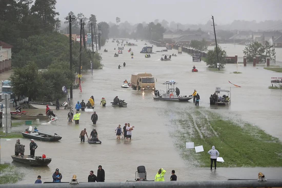
After an event, a drone collects imagery quickly and safely: which areas are sound, which need assessment or repair, and which are too damaged to rebuild. That read is what lets relief organizations put resources where they will do the most good, and it can be produced while the roads are still impassable.
We fly the properties or the district while everything is intact. That set is the comparison every later argument depends on.
Aerial imagery can be collected before crews can reach a site on the ground, and without putting anyone into standing water or unstable structures.
What is safe, what needs assessment, what needs repair, and what is beyond rebuilding - plus an estimate of the debris.
Geo-referenced imagery for the recovery plan, the claim file, or the resource allocation meeting on Monday morning.
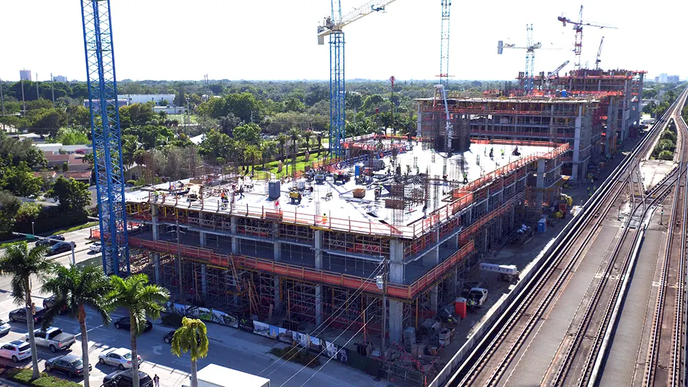
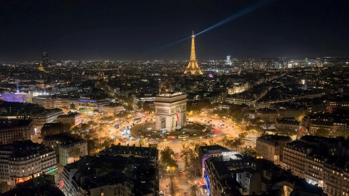
Frames from Papa's Aerial shoots across Broward, Miami-Dade and Palm Beach.
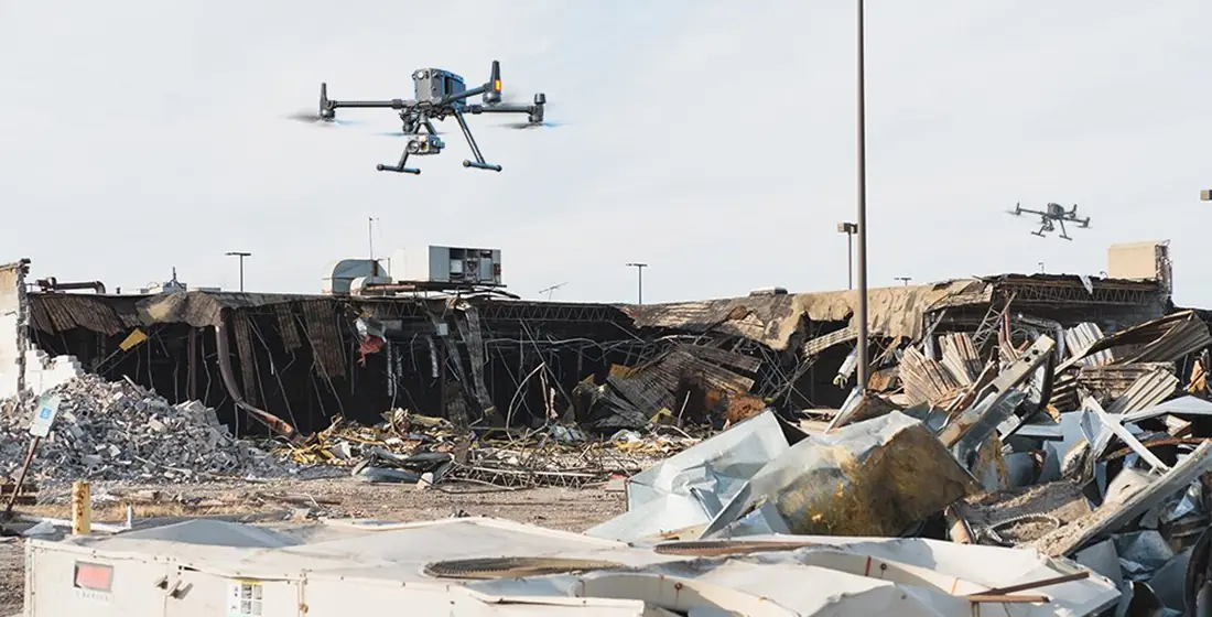
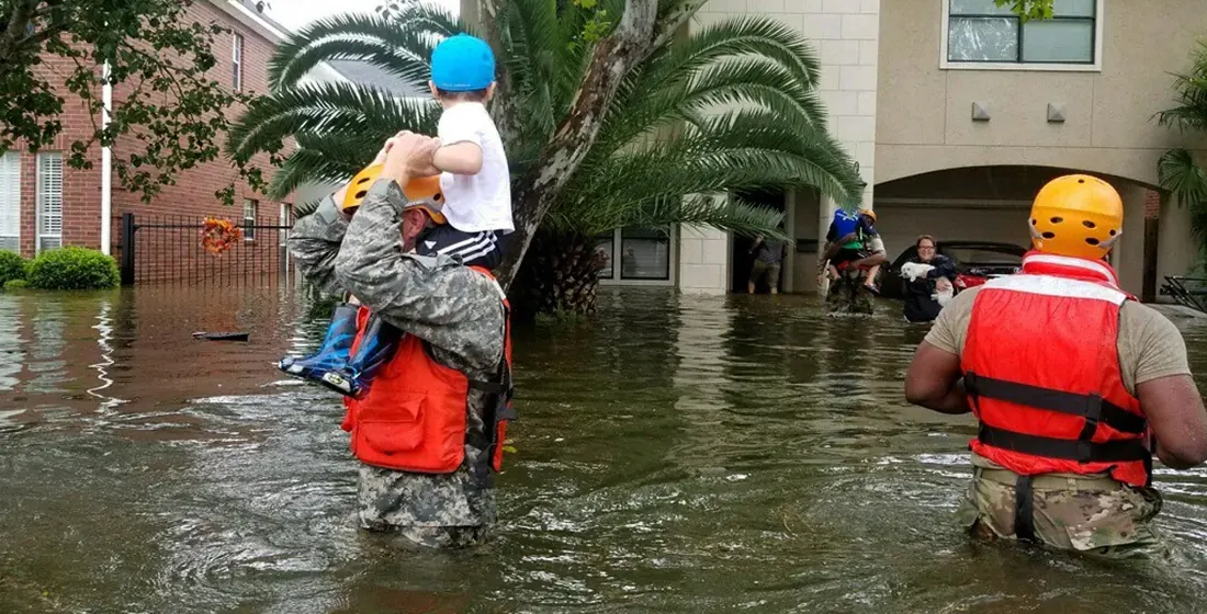
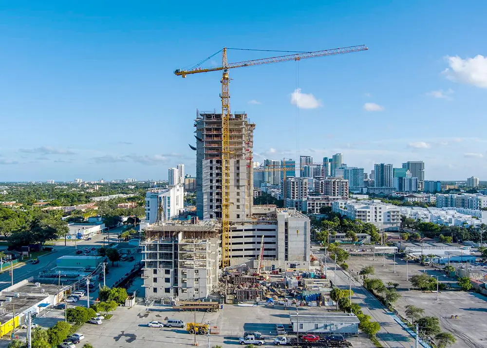
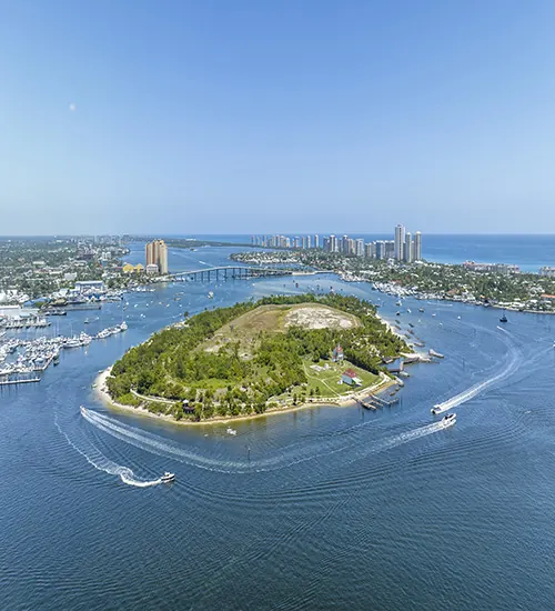
Images captured before an event are what let you assess pre-existing deficiencies that could be mitigated - fortifying a building, wind-retrofitting, roof work - and they document damage that already existed and would otherwise be attributed to the storm.
Aerial imagery can be collected rapidly and safely once conditions allow flight, which is usually well before ground crews can move through an affected area.
Yes. Debris quantities can be estimated from the aerial survey, and specific damage documented for post-disaster assessment.
Yes. Thermal sensors detect high-risk and hot-spot areas, which is how drones are used to track and help prevent wildfires.
Municipalities, HOAs, property managers, insurers and adjusters - anyone who has to make decisions about a lot of buildings quickly and cannot walk all of them.
Airspace is often restricted after a major event. We handle the authorization side, but flights depend on what the FAA has in place at the time.
The close-up without the climb. Towers, roofs, tanks, solar and bridges, documented in high resolution.
Read moreProgress your owner, your lender and your insurer all accept - same flight path, same angles, every visit.
Read moreWeddings, film, music video, tourism and brand work - the establishing shot that sets the scale of everything after it.
Read moreFlying in Fort Lauderdale and the surrounding South Florida cities, or tell us about your project.
Same business day quotes, FAA-certified pilots, and edited stills back within 24 hours of the shoot.