
Coral Springs was master-planned from the ground up, and it photographs like it - consistent street grids, uniform roof lines, and communities that read clearly from altitude in a way older cities do not.
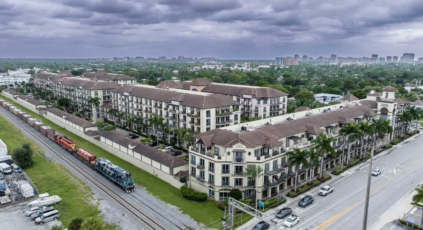
That makes it unusually good for the work most people never think to commission: a dated, repeatable aerial record of a whole community. For an HOA facing a reserve study or a roofing cycle, that set answers questions a walk-around cannot.
The listing work here is family housing rather than waterfront, so the shots that matter are lot size, roof condition, pool and screen enclosure, and proximity to schools and parks.
Coral Springs sits north and west of the busiest Broward airspace, which makes a larger share of the city straightforward to fly. We hold FAA Part 107 certification and file for the authorizations those shelves require, which is work you never have to see — but it is why an address here wants a few days of notice rather than a few hours.
What we shoot in Coral Springs
- Community-wide documentation for HOAs and management companies
- Residential listings with lot, pool and enclosure visible
- Roof condition surveys across large tracts of similar housing stock
- Park, school and municipal facility records
- Commercial documentation along Sample and University
Coral Springs neighborhoods we fly
Not a boundary, just the addresses we see most. If yours is not here, call anyway — it is usually still a yes.
- Eagle Trace
- Heron Bay border
- Ramblewood
- Coral Creek
- Turtle Run
- Wyndham Lakes
- Westview
- Maplewood
Flying in Coral Springs
Why would an HOA commission aerial photography?
Because it answers questions a walk-around cannot. A dated set shows roof condition across the whole community, feeds a reserve study, and gives you a baseline to compare against after a storm.
Is Coral Springs easy airspace?
Easier than the coastal cities. It sits away from the busiest Broward airspace, though we still check each address.
How long does a community-wide set take?
It depends on acreage. Tell us the community and we will scope it on the call.
Do you shoot standard residential listings here?
Yes, and the useful frames are lot size, roof, pool and enclosure, and what the street backs onto.
We fly next door too
Broward County and the rest of South Florida, from the same base.
Before you book
Tell us the address. We will handle the sky.
Same business day quotes, FAA-certified pilots, and edited stills back within 24 hours of the shoot.