disaster4

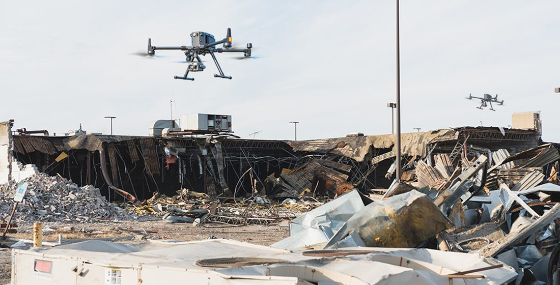
Earthquake Survey

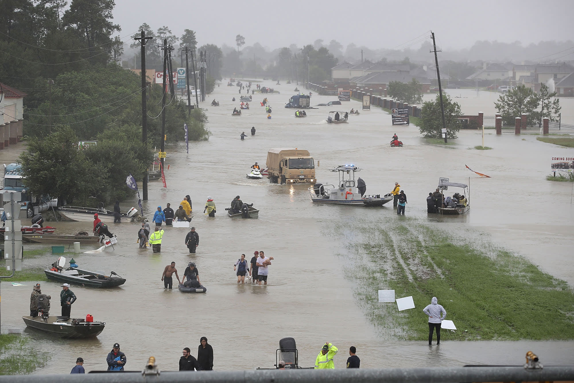
Flooded Areas Survey


Hazard Mitigation
Drones can help prevent destruction or damage from future natural disaster events. Aerial images captured by a drone before a disaster occurs are beneficial in assessing potential pre-event deficiencies that could be mitigated before the event. For instance, fortifying buildings and making them more storm or disaster-resistant, wind-retrofitting buildings, roof enhancements, or reporting existing damage that would only be made worse by a disaster.
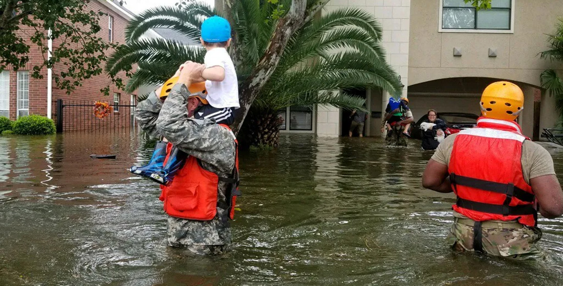
Rebuilding and Recovery
The ability to quickly and safely gather aerial imagery of disaster areas after a storm or other event has occurred is becoming increasingly non-negotiable. Drones can be used to survey damage and provide information about what areas are safe, which ones need further assessment or repair, and which ones may be too damaged to rebuild at all. This information helps relief organizations prioritize their efforts and identify where additional resources are needed most.
In post-disaster damage assessments, drones can be used to estimate debris quantities and show proof of specific damage.
Infrared and Thermal Sensors for Hazard Mitigation
Drones can also help track and prevent wildfires (especially prevalent in California) by using thermal sensors to detect high-risk areas and hot spot areas.
Collecting drone data at disaster sites is one of the most effective ways to mitigate disasters in the future. Conducting pre-incident evaluations and collecting comprehensive insights leads to more robust action plans and recovery plans.
